
2
Revdanda Fort
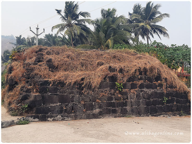
Revdanda is a village in Alibag taluka of Raigad district. Revdanda is 17 km from Alibag. The village is near the edge of the creek where the ...
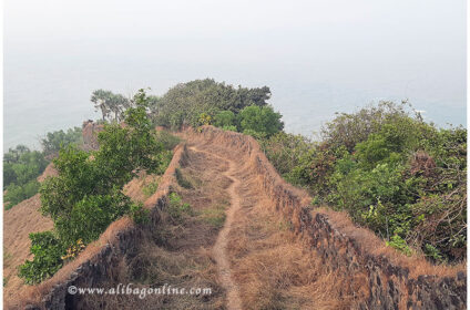
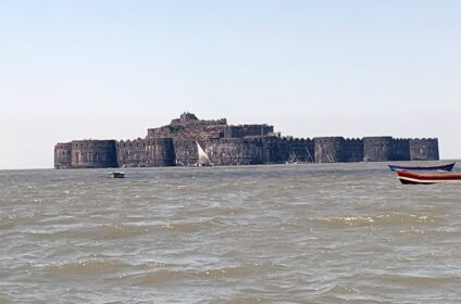
Alibag taluka is to the north of Murud taluka. Kundalika river creek is on the border of these two talukas. The two talukas are connected by road as there is a bridge over the creek at Revdanda. Korlai fort is on the north side near the mouth of Kundalika creek. To the south is the fort of Korlai near the village of Korlai. The hill of the fort is submerged in water like a ridge.
The Portuguese built Korlai fort in 1521 with the permission of Ahmednagar Sultan. After the death of Burhan Nizam, the Portuguese tried to capture the fort. But the Sultan took revenge and sent some of his best men to retake the fort. Subsequently, a battle ensued in which the Ahmednagar Sultanate occupied the island.
In 1594, the fort was captured by the original Portuguese captain Abranches, who attacked with 1500 Soldiers . After the siege of the fort, the soldiers of the Sultanate tried to block their way by placing a dead elephant near the main gate and a dead horse at the inner gate. But at the end they had to surrender and the Portuguese conquered the fort.
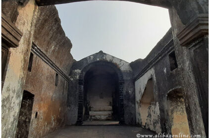
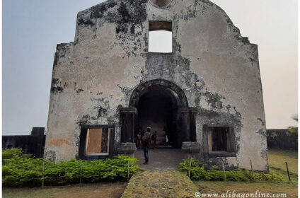
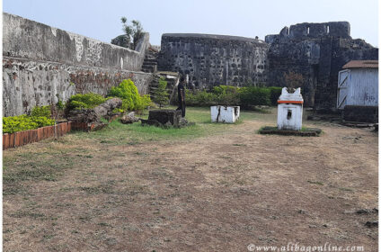
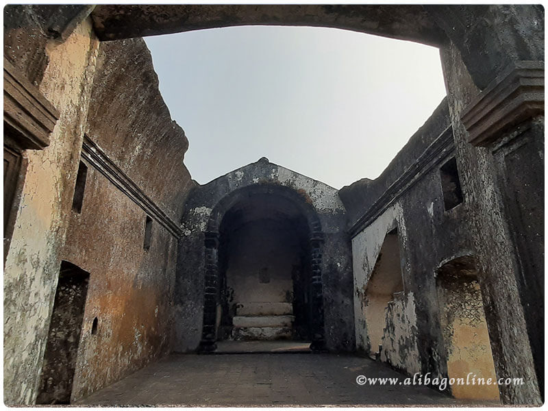
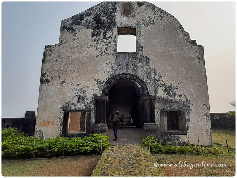
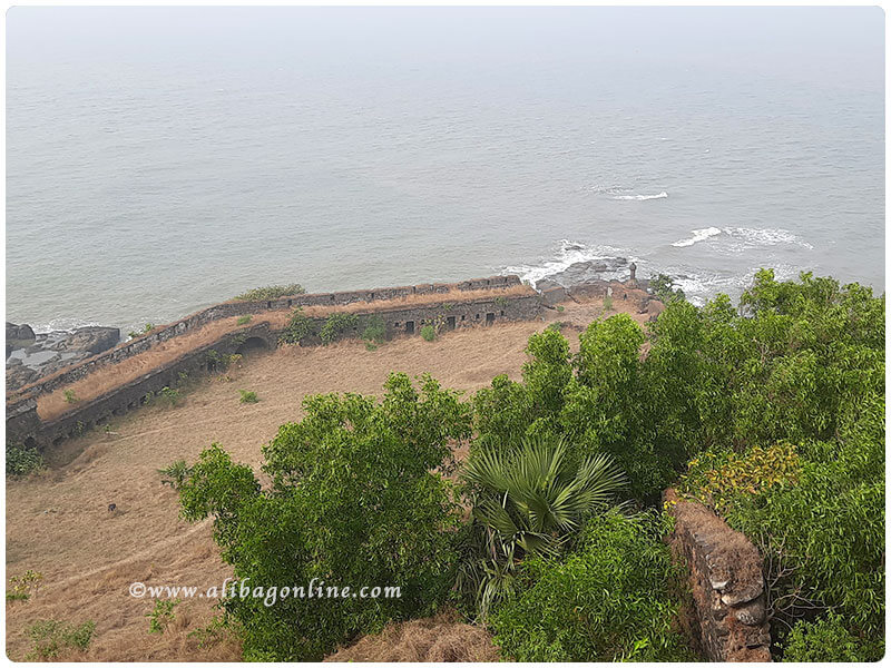
The church in the fort was used for worship on Sundays and holidays. Koralai fort was also strategically important as it was at the mouth of the creek making it easy to guard against enemies coming by sea.
Sambhaji Maharaj, son of Chhatrapati Shivaji Maharaj, tried to capture the fort but failed. This fort was captured by the Marathas between 1739-1818.
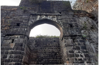
The fort is said to have been built in 1521 by the Portuguese military ruler Diogo Lopis de Sacar, with water on three sides and land on the south. The fort is easily accessible by road. The road from the bus station to Korlai leads to the lighthouse. The fort has three entrances. The west entrance is the easiest way. This route is adjacent to the lighthouse.
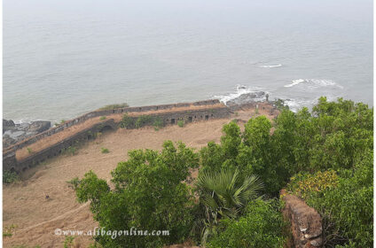
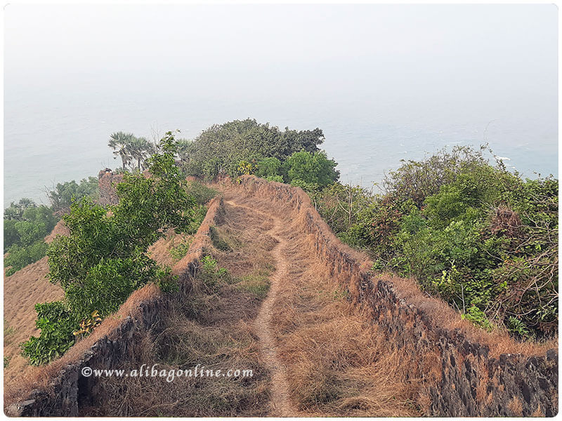
The entrance can be reached by climbing a few steps inside the fort. It takes a 20-minute walk to get closer to the east entrance. This route is the main route and can be entered through the main entrance. But this route is less used. It is not convenient to go this way in the rainy season. The entrance is better on the side of the harbor or on the north side. There is plenty of water on the upper ramparts.
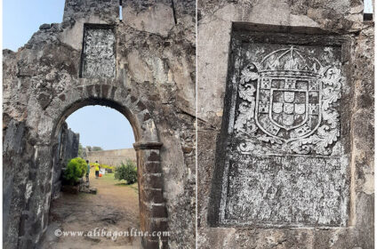
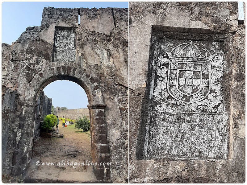
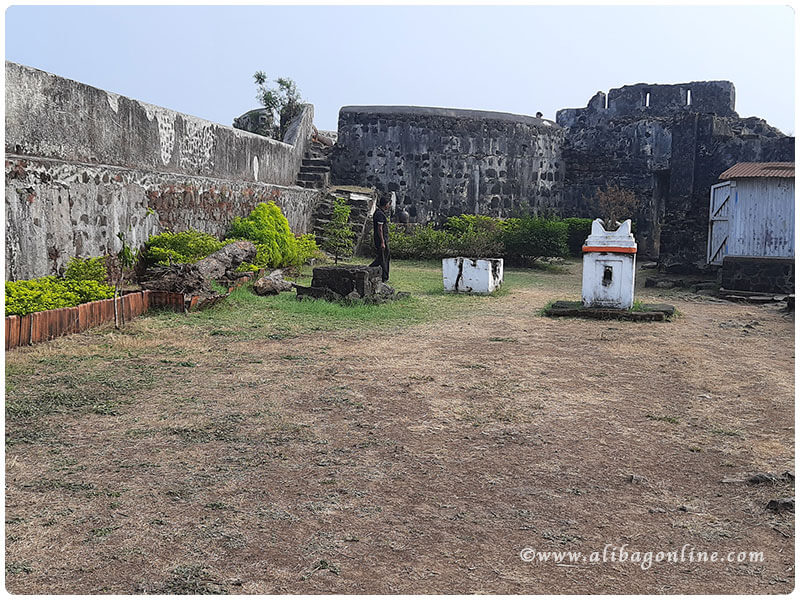
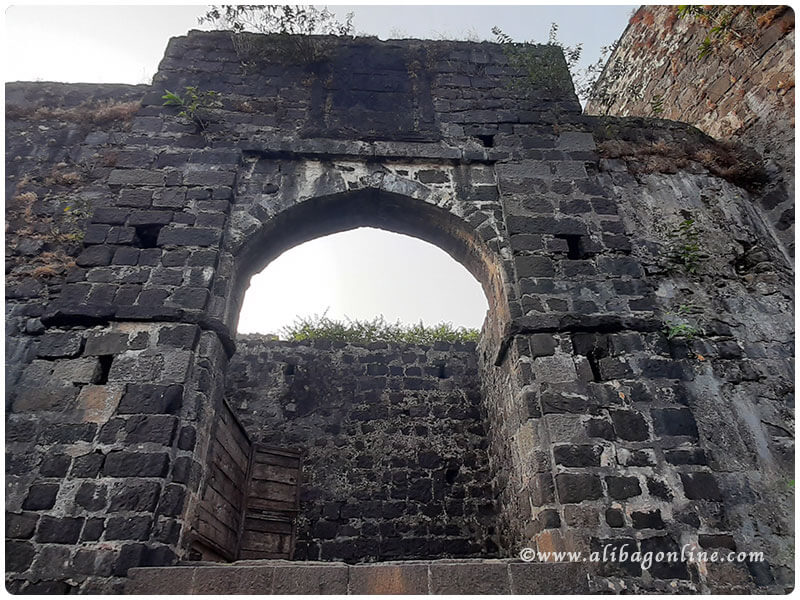
The main fort extends about a hundred feet from east to west and about a thousand feet from south to north. At the entrance of the fort. The inscription “No entry without a fight” is engraved on the stone. The fort has seven gates. It has a freshwater well, a dilapidated church and a temple. At the foot of the fort is an old lighthouse across the sea. At the beginning of the fort is said to be a magnificent battlefield, two towers / forts bearing witness to this. This historic fort was in the possession of the Portuguese for many years. Around 1740, it came under the control of Marathas. But in 1818, like other forts, it was captured by the British.
The Korlai village is famous for its “Portuguese” language used in everyday life, both after independence and after the Portuguese left.
You have to go through Koralai village to see Koralai fort. There is a road to the fort from Koliwada. Korlai village is 22 km from Alibag on Alibag-Murud road. Is at a distance. Korlai also has a road from Roha. The road from Roha to Murud (via Chanere) also passes through Korlai village.
Reference :- Raigad Gazetteer
For faster login or register use your social account.
[fbl_login_button redirect="" hide_if_logged="" size="large" type="continue_with" show_face="true"]
